By Tom Chryst
 There is a great web site with aerial photographic coverage of much of the United States, and some foreign areas as well, which might be of interest to Wild Ones.
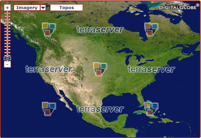
Go to terraserver.com, type in “St Louis, MO” and click “go”. Pick an image and start experimenting. Zoom out for a wider view, locate some landmarks, and then click “topo” to see the corresponding map of the area. You should soon be able to locate your own neighborhood, click back to “photo”, then zoom in closer and find your house.
For a fascinating simulated “long shot” of the entire area, showing St. Louis at the confluence of the Missouri, Mississippi and Illinois rivers, click on “relief”. Go back to the home page and try some foreign images – for example, the Suez Canal. Be prepared to spend some time on this one – it’s addicting!

